Application
With the technology we have as well as experienced experts in their field able to process data, get information, store data in various efforts to produce a map
Application
State-owned enterprises (BUMN) / Regional owned enterprises (BUMD)MiningGovermentForestryAgriculturalGoverment
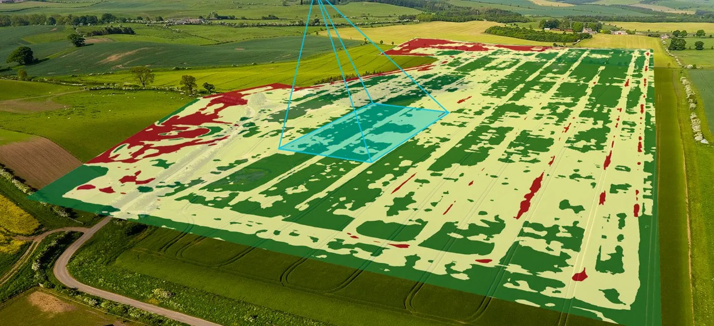
the most recent spatial policy, required existing spatial data. This data can be obtained from satellite or aerial photographs or LiDAR. The data is processed in accordance with the procedure. The latest information in the form of thematic maps is an input to make the planning in order to arrange the region
Services that we can provide are related to the government environment:
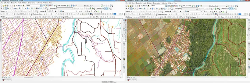
• Provision of detailed topographic maps and thematic maps
• Provision of aerial photographs
• Provision of thematic maps according to the needs of each agency
Services that we can provide are related to the government environment:
• Provision of detailed topographic maps and thematic maps
• Provision of aerial photographs
• Provision of thematic maps according to the needs of each agency