Application
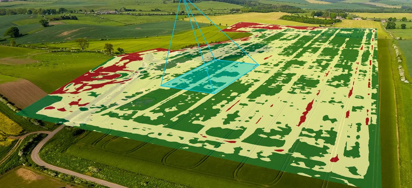
With the technology we have as well as experienced experts in their field able to process data, get information, store data in various efforts to produce a map
Application
State-owned enterprises (BUMN) / Regional owned enterprises (BUMD)MiningGovermentForestryAgriculturalForestry

Various information that can be utilized for forest analysis from LiDAR or Air Photo data. Especially for the analysis of the type and height of vegetation (trees).